| Links Page | UK Photographs | American Photographs |
|
NORFOLK
LIGHT RAIL
(Construction) |
|
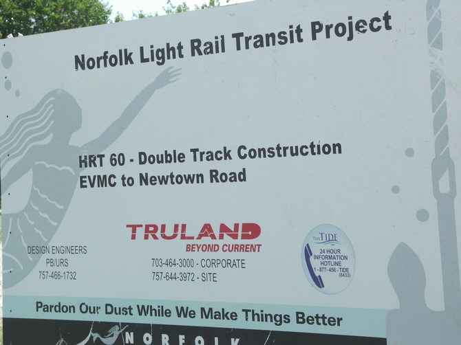
The Norfolk Light Rail System was under construction in 2009 when these photographs were taken. Opened in 2011, it extends 7.4 miles on an east to west alignment from the Eastern Virginia Medical Center through downtown Norfolk, continuing along the Norfolk Southern right-of-way, adjacent to I-264, to Newtown Road. Eleven stations have been constructed along the route with four park and ride locations that provide access to major areas such as Norfolk State University, Tidewater Community College (Norfolk Campus), Harbor Park, City Hall, MacArthur Center, and the Sentara Norfolk General Hospital. The project was funded from local, State, and Federal sources. These photographs were taken in June 2009. |
Information board for the system which will be known as "The Tide".
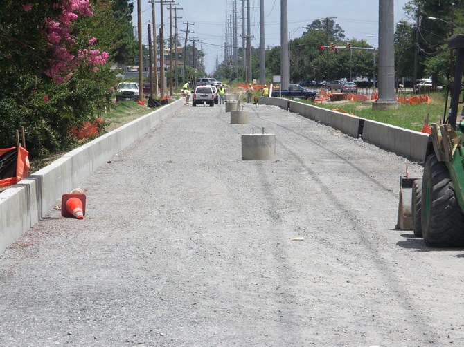
From the eastern terminus at
Newtown Road, the track bed runs parallel to Curlew Drive for 2 miles.
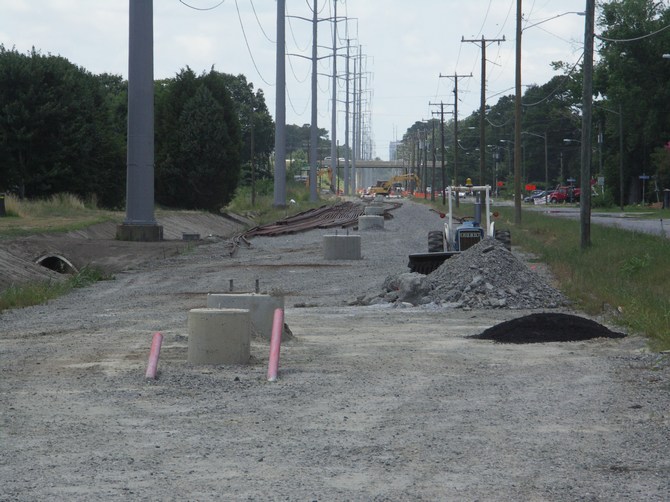
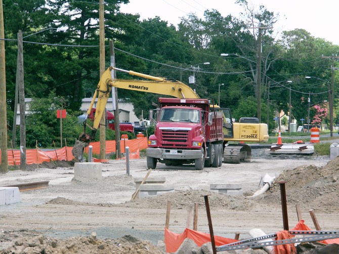
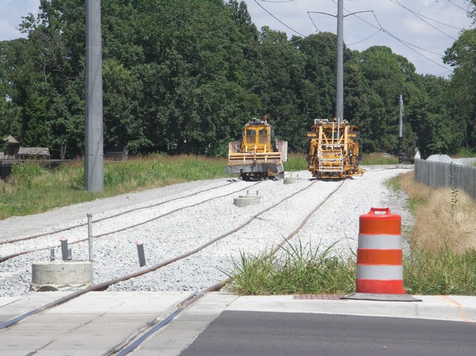
This is the track bed under construction at the junction of Curlew Drive and
Bristol Avenue.
The level crossing is already in place for vehicle crossing at the junction of Curlew Drive and Bristol Avenue.
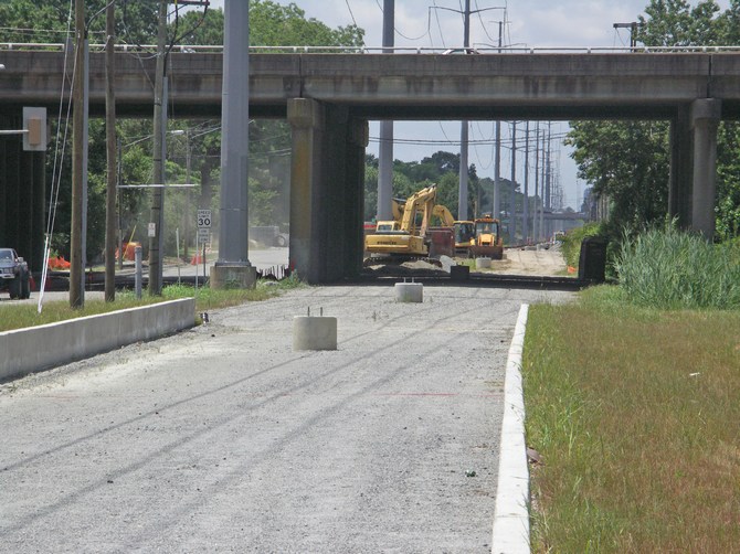
Track bed under construction at the junction of Curlew Drive and Kidd Boulevard, looking West.
Track bed under construction at the junction of Curlew Drive and Kidd Boulevard, looking West.
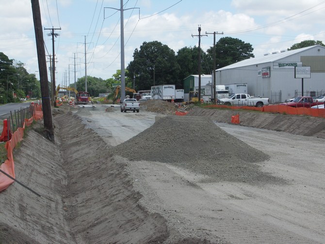
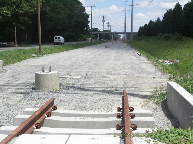
Track bed under construction at
the junction of Curlew Drive and Wellman Street, looking East.
The V-shaped excavation will be a drainage channel.
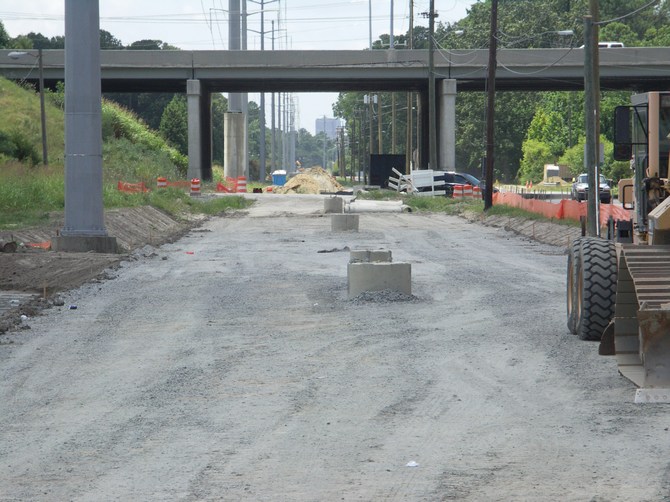
Track bed under construction at
the junction of Curlew Drive and Wellman Street, looking West.
The road passing over is Route 13 Military Highway.
Construction activity at the junction of Curlew Drive and Wellman Street.
Track bed looking East at the junction of Curlew Drive and Corporate Blvd.
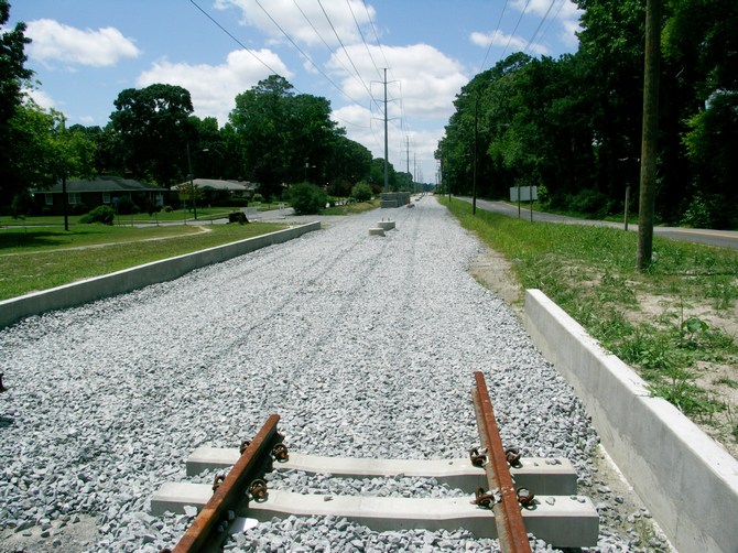
Track bed looking West at the junction of Curlew Drive and Corporate Blvd.
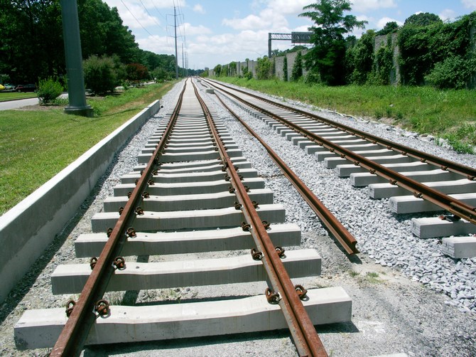
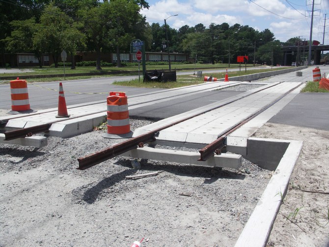
Loose-laid tracks looking West at the junction of Curlew Drive and Huntsman Road.
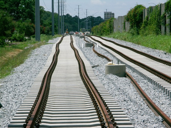
Loose-laid tracks looking West between Huntsman Road and the Broad Creek Bridge.
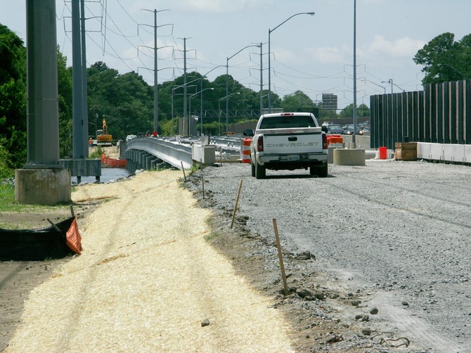
Track bed approaching the Broad Creek Bridge.
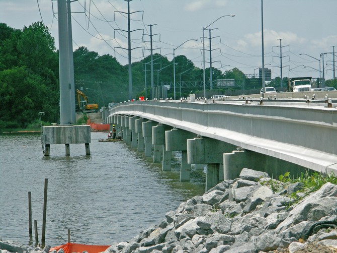
The Broad Creek Bridge.
The vehicles to the right of the bridge are on a separate parallel crossing of
the Interstate 264.
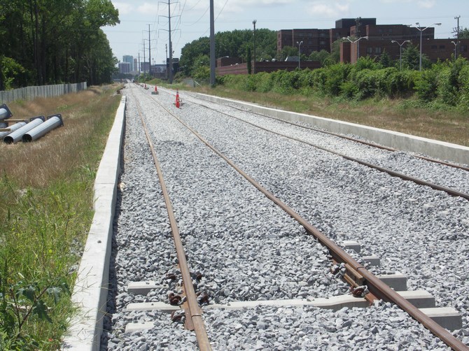
The bed with laid tracks, looking West, by the Ballentine Blvd crossing, adjacent to junction 12 of the I-264.
The bed with laid tracks, looking East, by the Ballentine Blvd crossing, adjacent to junction 12 of the I-264.
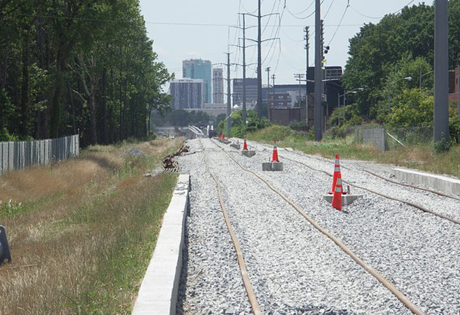
Track bed, looking West,
between Ballentine Blvd and Brambleton Avenue.
The high-rise buildings in the distance are in downtown Norfolk.
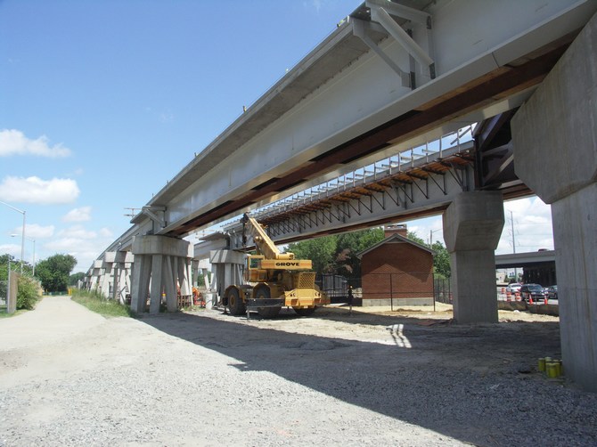
Just before the tracks reach Brambleton Avenue, the railway becomes elevated for about a mile.
The elevated tracks at the
crossing of Brambleton Avenue, adjacent to Norfolk State University.
Note the track's sharp turn to the left, as it goes on to Harbor Park.
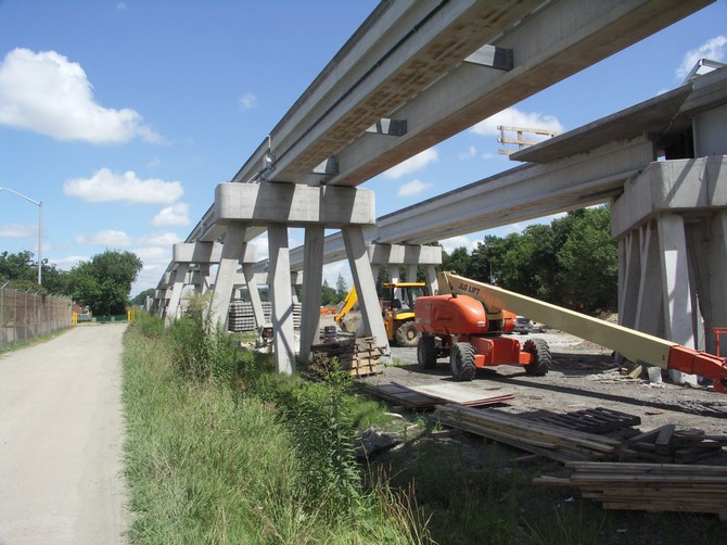
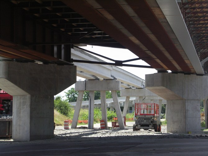
Construction site near Brambleton Avenue.
For more details of the project, see http://www.ridethetide.com/
For an animated map and views of the project, click here
.
| Links Page | UK Photographs | American Photographs |
© Copyright M J Smith, 2009
No photographs to be reproduced elsewhere without permission.