| Links Page | UK Photographs | American Photographs |
|
NORFOLK
LIGHT RAIL
(Construction) |
|
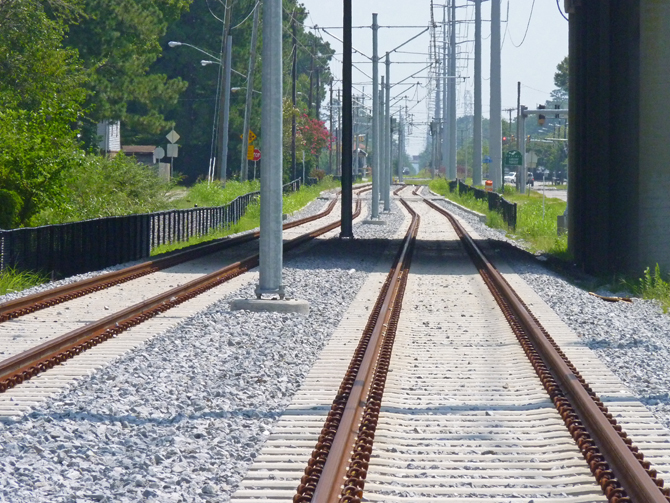
The Norfolk Light Rail System was still under construction, being over time and over budget, but getting closer to completion, when these photographs were taken. The route runs from the Eastern Virginia Medical Center through the streets of downtown Norfolk, then along the old Norfolk Southern track bed to Newtown Road on the Norfolk/Virginia Beach city borders. Eleven stations have been constructed along the route. This series of photographs shows the progress being made at the Newtown Road terminus, halfway along the route, and in downtown Norfolk . These photographs were taken in August 2010. |
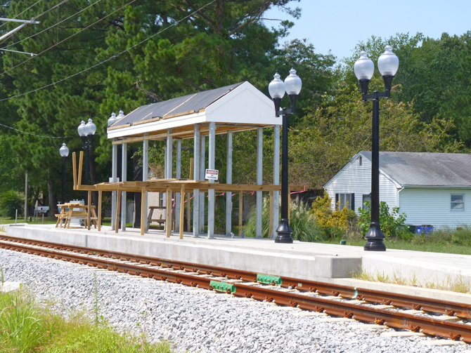
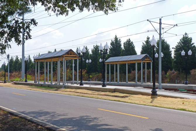
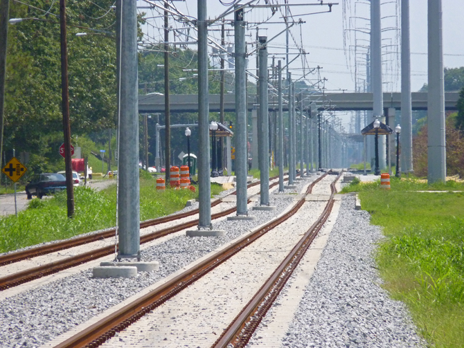
Newtown Road is the eastern terminus of the light rail system.
There is just a single track at this point with one platform and shelter under construction.
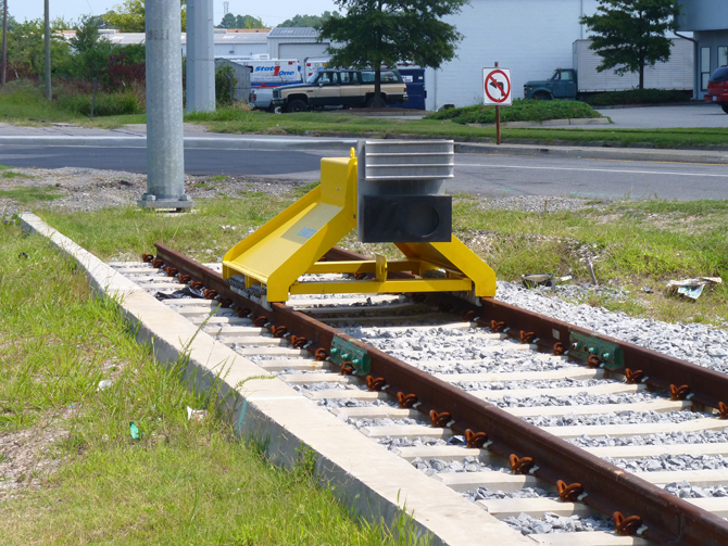
Buffer stop on the single track with Newtown Road in the background.
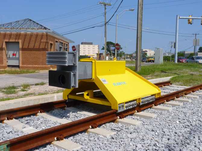
Another view of the impressive buffer stop, with the electricity supply control building to the left of the photo.
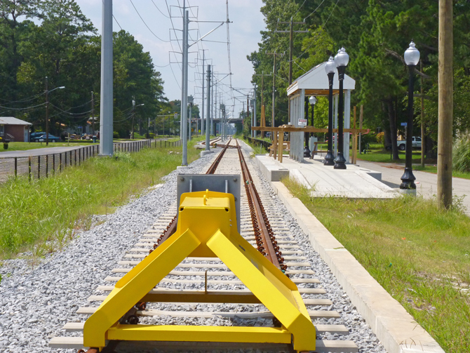
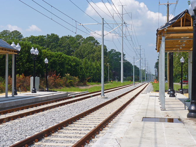
This view of the track and station at Newtown Road shows the single track becoming two after a short distance (see also below).
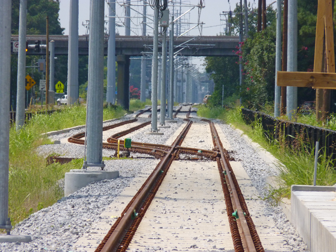
This zoomed photo shows the twin track to single point more clearly.
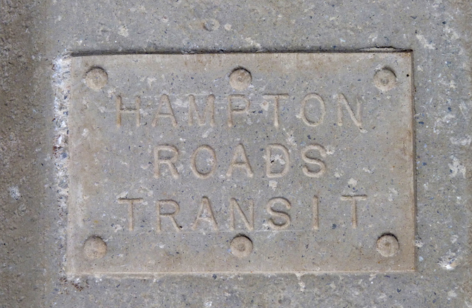
The concrete track ties at Newtown Road have the light rail operator's name cast into the concrete.
This is the view of the track bed near the junction of Curlew Drive and Kidd Blvd, looking east towards Newtown Road.
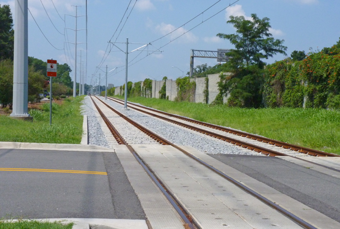
The road crossing at the junction of Curlew Drive and
Kidd Blvd.
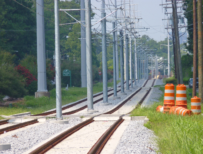
Note that the track and overhead electricity wires are in place and ready to go.
This is the Military Highway Station under construction, actually on Curlew Drive.
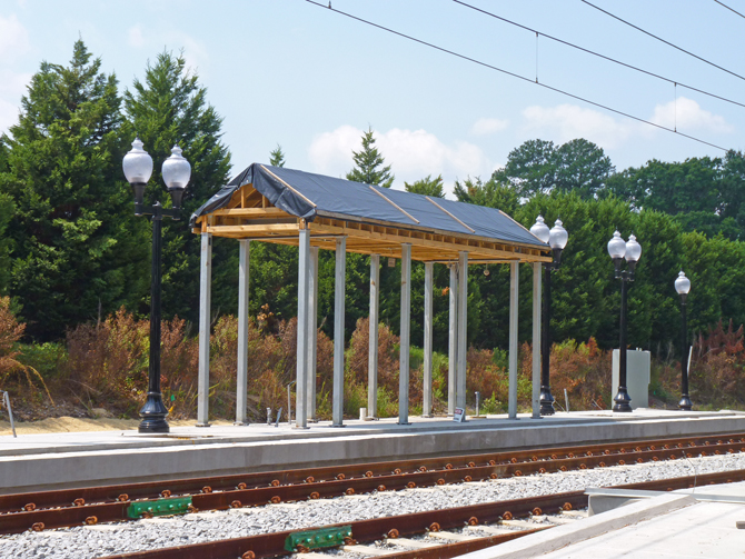
This is the eastbound track and platform shelter, Military Highway Station.
Military Highway Station looking west towards Norfolk.
Telephoto-lens view looking west towards Norfolk.
Looking east towards Military Highway Station (middle distance), with Military Highway on the bridge over the tracks.
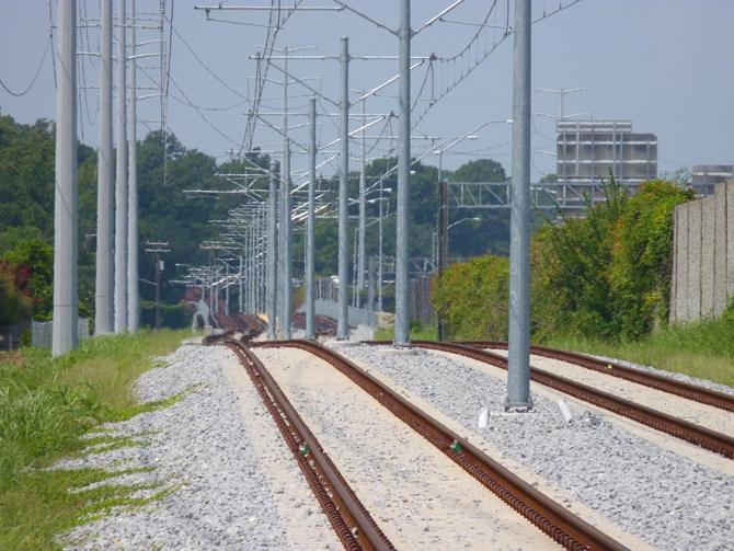
Track bed looking west at the junction of Curlew Drive and Huntsman Road.
Looking west towards the bridge over Broad Creek.
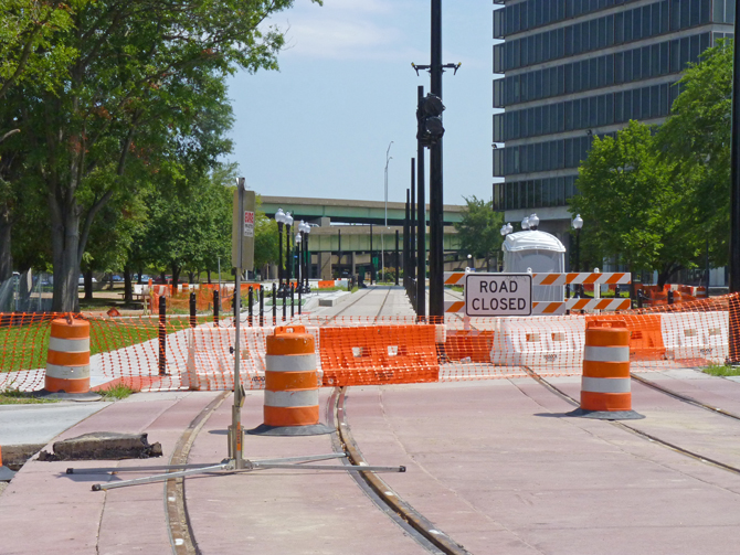
In Norfolk looking east near to the Civic Plaza Station with Interstate 264 in the background.
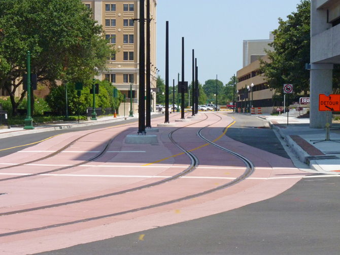
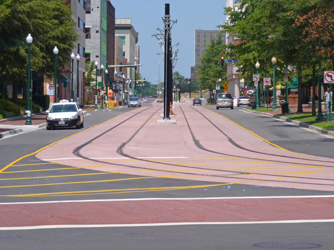
Plume Street, Norfolk, showing
how the tracks are indentified with a pink road surface to warn motorists.
Notice that in central Norfolk the overhead electricity wires are not in place,
but the support poles are.
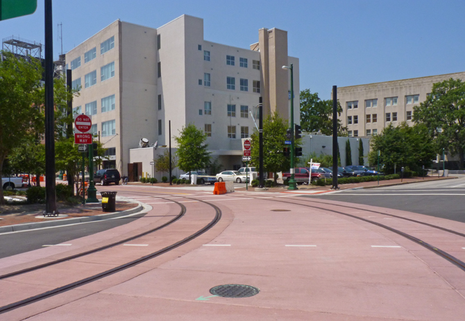
This is the 45-degree turn from
Plume Street towards Monticello Avenue.
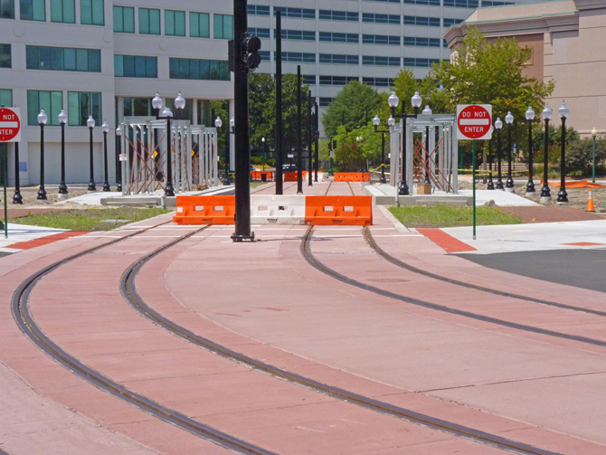
In the centre, the MacArthur Square Station shelters are under construction.
This station is on the site of the now demolished Kirn Memorial Library.
Close up of the eastbound platform at MacArthur Square Station.
This view shows the tracks leaving MacArthur Square Station, and sweeping round to Montecello Avenue.
Looking along Montecello Avenue.

The tracks pass right by the MacArthur Shopping Mall on Montecello Avenue.
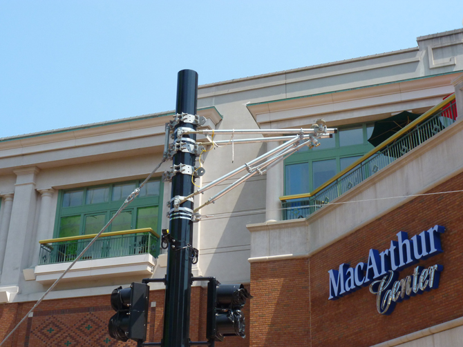
Showing the supports for the overhead electricity wires.
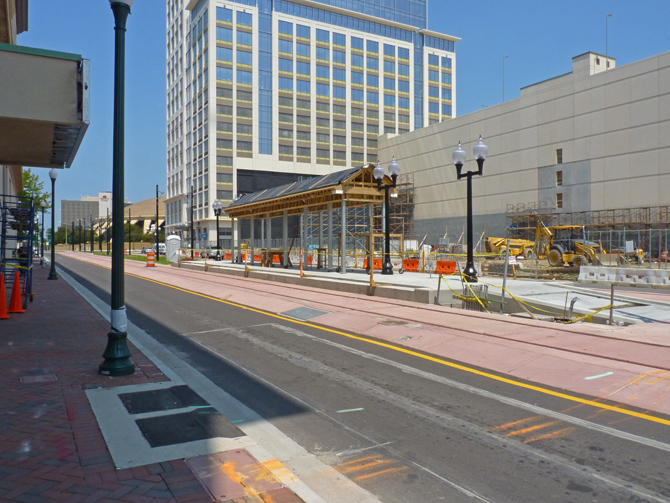
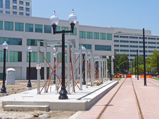
This is the Montecello Avenue Station under construction, near the junction with Freemason Street.
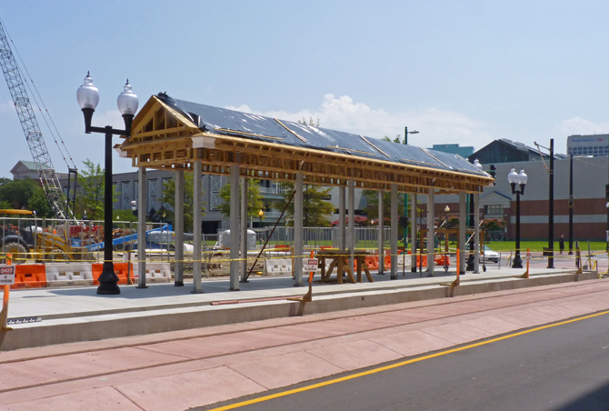
Another view of Montecello Avenue Station. It is an island station between the two tracks.
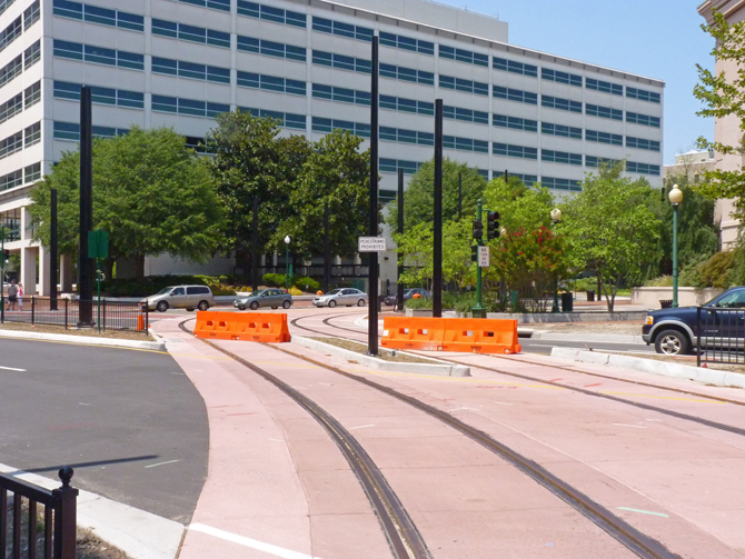
At this road junction, the tracks sweep from Montecello Avenue into Charlotte Street.
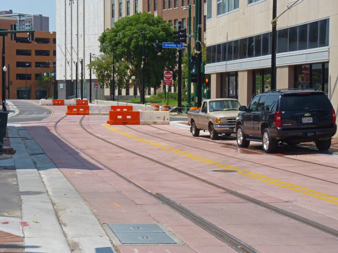
Looking down Charlotte Street,
the lines can be seen crossing Granby Street.
Only two more stations on the line from this point.
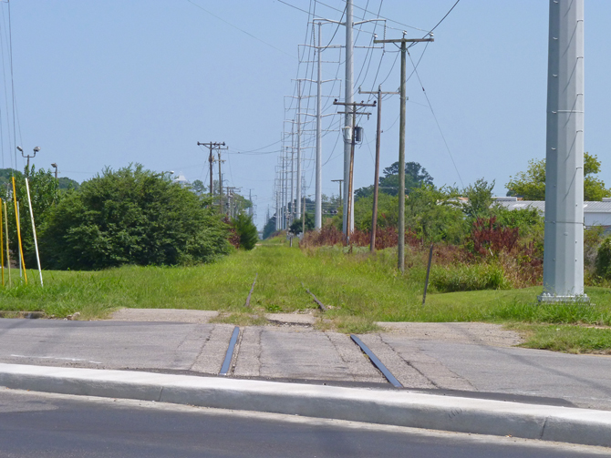
Back at the eastern end at
Newtown Road, the disused tracks of the Norfolk & Southern head into the
City of Virginia Beach.
Virginia Beach has previously rejected the idea of a light rail system, but it
is reported that they are reviewing the decision.
For more details of the project, see http://www.ridethetide.com/
For an animated map and views of the project, click here
.
| Links Page | UK Photographs | American Photographs |
© Copyright M J Smith, 2010
No photographs to be reproduced elsewhere without permission.